
The River St. John
lts Physical Features Legends and History from 1604 to 1784

Rev. William O. Raymond, born in 1858, wrote The River St. John in 1910. This version was published in 1950.
From the introduction:
Born and reared upon the banks of the River Saint John, I have always loved it, and have found a charm in the study of everything that pertains to the history of those who have dwelt beside its waters…
It has been said, with truth, that the history of human civilization has been determined and controlled by great rivers. Throughout antiquity and down to recent times they formed the main arteries of travel and traffic. Along their water-ways traders spread their sails and plied their oars. On river banks or estuaries the oldest and stateliest cities of the world have grown up.
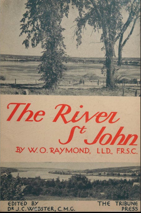
The book covers the geography, attractions, legends, and history of New Brunswick's 418 mile long1 St. John River. It begins in 1604 when French explorers De Monts and Champlain named the river after St. John the Baptist, as they entered the harbour on the Saint's feast day.
I haven’t actually read the book in full but it does sound like a ripping yarn. Here are few lines from the breathless blurb on the inside cover:
The story of the Red Man’s sway on the river makes the kind of reading hard to lay aside. We admire the Maliseets and the Micmacs for their charming legends, their sense of humor, their poetic lore expressed in such a saying as: “When the maple leaf is as big as a squirrel’s foot it is time to plant the corn.” We fear them for their bloodthirstiness and cruelty to captives.
and…
A succession of heroic deeds, courageous sufferings and romantic adventures enliven the history of the river as the French and English struggle desperately for the mastery of Acadia.
in summary…
All through the pages of ‘‘The River St. John” familiar, present-day names are scattered; and it will, no doubt, be with justifiable pride that the descendants of these courageous early settlers, both French and English, read the thrilling story of their ancestors’ struggles—and successes.
This is the kind of book I’d happily buy for a tenner in a charity shop. To read the work I’d need a cottage on a river, there would be no wifi, just a few bottles of excellent red and some jazz vinyl, it would be a good read.
Here’s a Google map of the river for orientation.

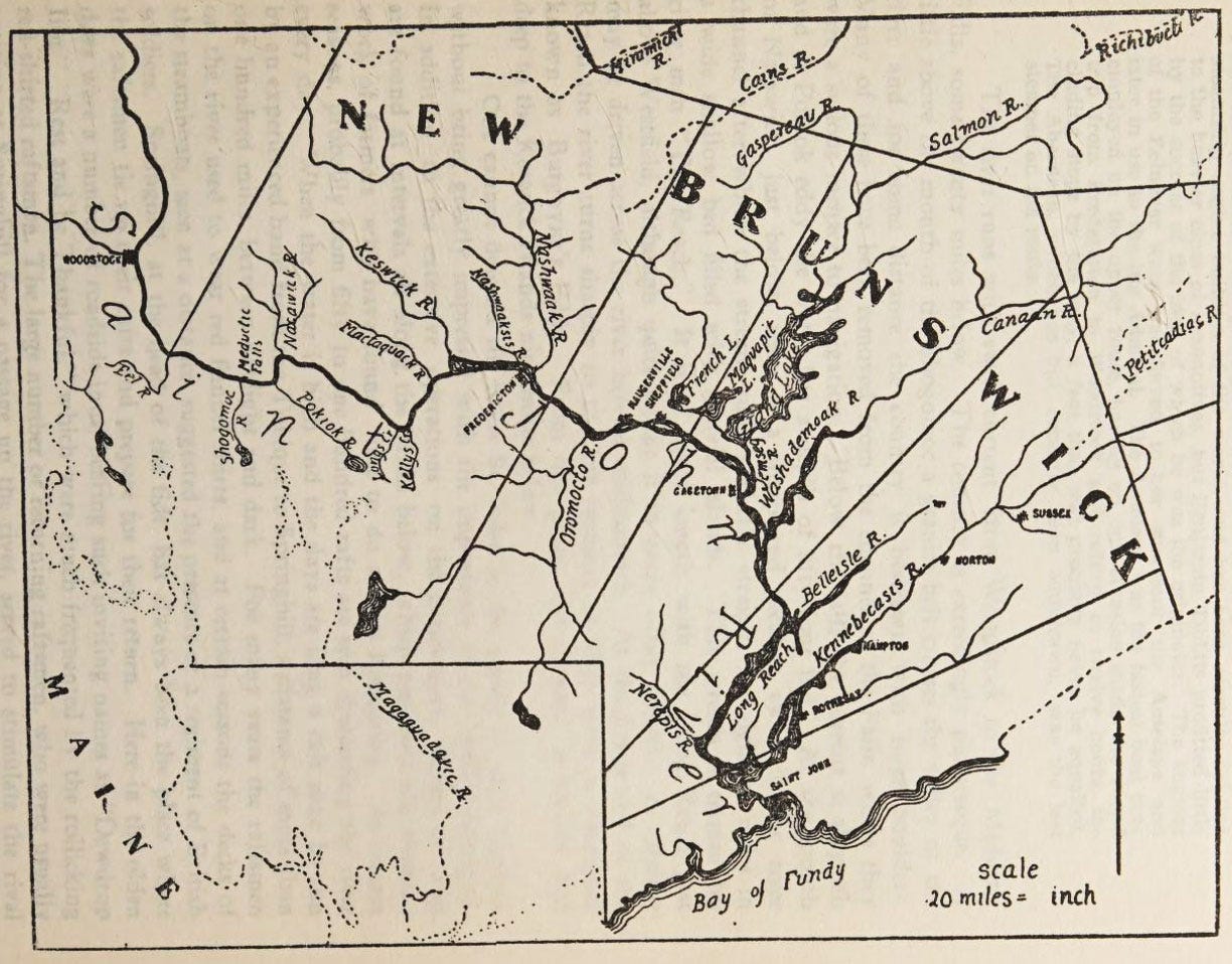
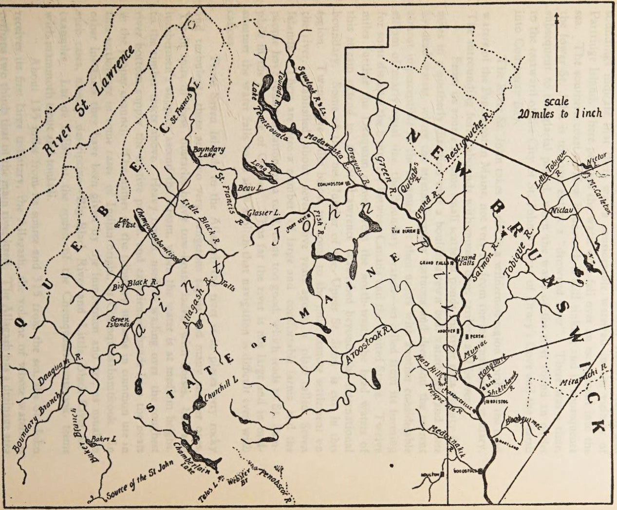
The book contains two key maps, the cartographer is unknown.
The first map shows the river emptying into the Atlantic Ocean in the Bay of Fundy.
The second shows the source of the river at Saint John Ponds.
Two other maps in the book:


The book is currently on sale on Ebay for £23, you can read from free at archive.org
In comparison, for British readers, the Severn is 220 miles and the Thames 215 miles in length.
Follwong the river from the bay upstreams is very interesting. Names like Mactaquac, Nackawic, Saint Andre, and Fort Kent imply a rich history.
It makes me think of books I read as a young teenager although I think the events in most of those books took place further south on the continent.